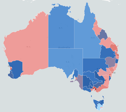
After publishing my previous post Australia SA4 Population Size using d3js and Mapbox, I started thinking about how I could enhance the map to add other Statistical Areas as drill down and this got me to rethink why I was using d3js and Mapbox.
Initially, my concept was to create better maps with d3js, however, in these specific circumstances, I did not need to use d3. I could create the SA4 population Map using only javascript and Mapbox. I started to look into mapbox examples and saw a few interesting ones. At the same time NYT published their Virginia Governor Election post which was build on top of Mapbox. So , I gave it a go as well. Using the same geojson file as the previous post, I loaded the data directly to Mapbox and converted the d3 functions to javascript ones and instead of displaying the data on the side bar, I added a tooltip, with the goal to make it a bit similar to NYT.
The is not much changes in the code except the tooltip popup. The map is accessible through here